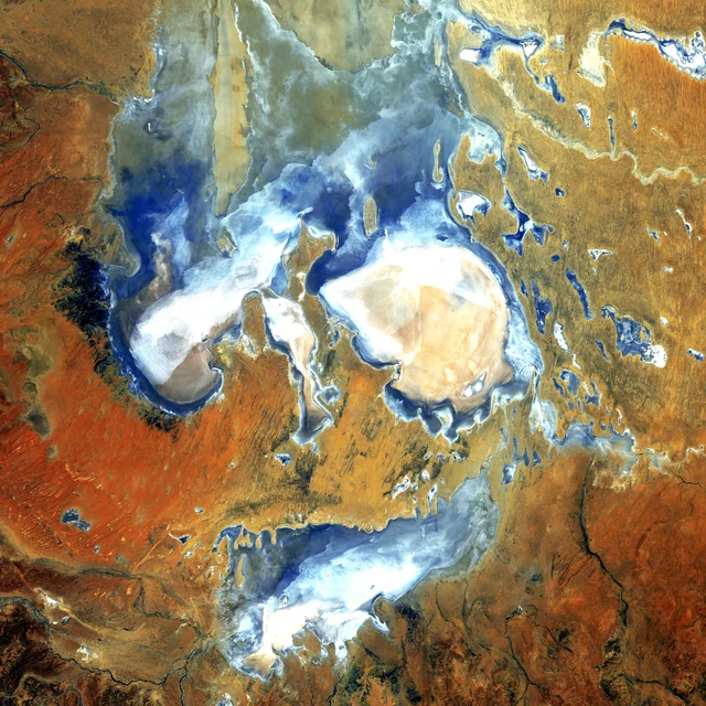
Lake Eyre, South Australia
U.S. Geological Survey · Landsat 5
Public-domain satellite imagery
A NOTE ON THE IMAGERY
The landscape imagery on this website comes from the
U.S. Geological Survey’s public-domain Earth as Art collection.
These are processed satellite images, often using false colour to reveal features of the landscape. They are presented as editorial references to colour, form and texture.
They are not artworks by Karissa Patrice Undy and do not represent her cultural stories, Country or community. Their inclusion does not imply endorsement by the USGS.
Images have been cropped from the original exhibition layouts and resized for the web. Image colour has not been changed.
USGS image-use policyU.S. Geological Survey · Landsat 5
Public-domain satellite imagery
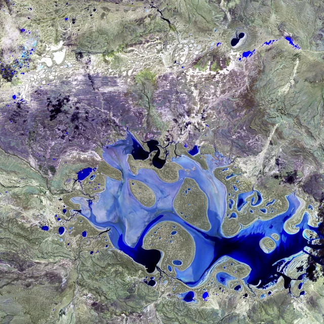
U.S. Geological Survey · Landsat 7
Public-domain satellite imagery
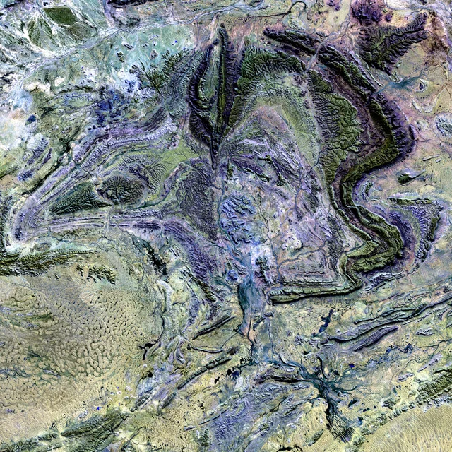
U.S. Geological Survey · Landsat 7
Public-domain satellite imagery
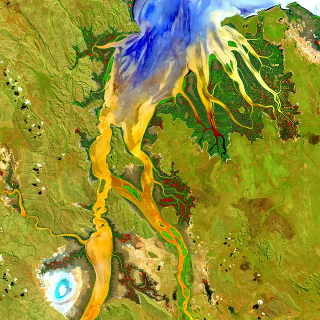
U.S. Geological Survey · Landsat 8
Public-domain satellite imagery